
West Broomehill Postie Run Geocache Trail
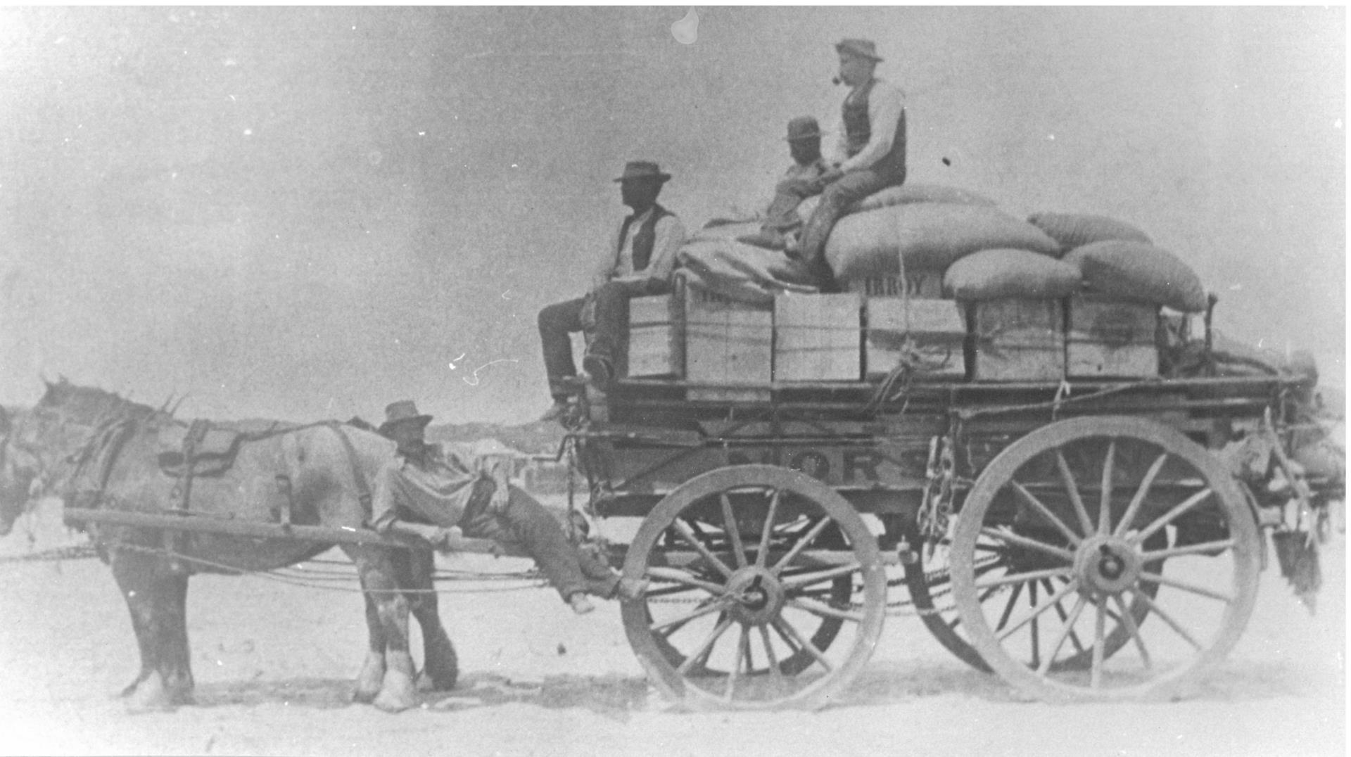
The West Broomehill Postie Run Geocache Trail will take you to 23 locations roughly following a postie's run around an old agricultural area to the west of the Broomehill townsite. The mail route has been in operation for over 100 years and by finding the geocaches along the trail you'll be rewarded by learning about the pioneers and early settlers of the area.
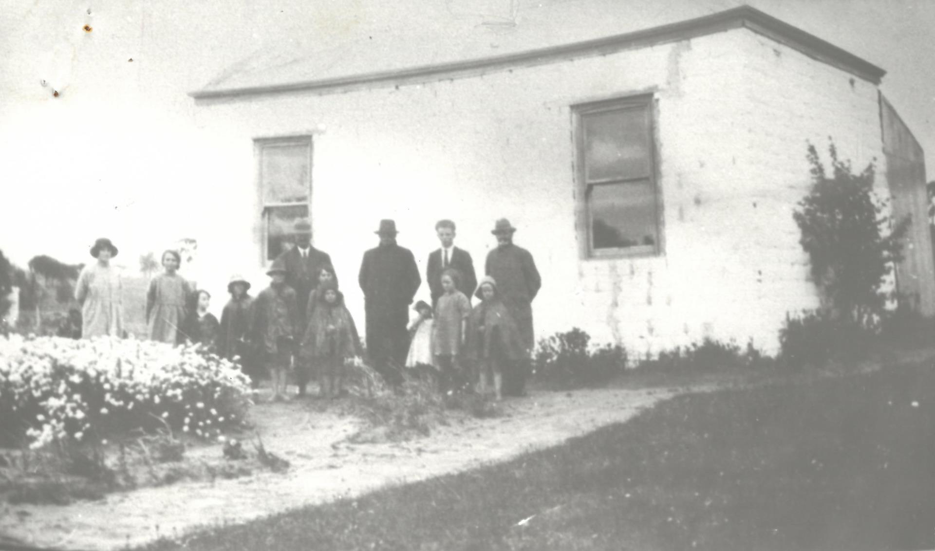
The West Broomehill area has a rich history dating back thousands of years as the traditional home of the Kaneang people and was occupied by ambitious farmers during the first decades of European settlement in the mid-1800s. A number of properties and a few of the homesteads on the trail date back to this initial period of settlement.
Also on the trail is the site of the Eticup townsite, which was an important centre of social and economic activity until its importance was displaced by Broomehill with the completion of the Great Southern Railway in 1887.
The completion of the railway ended the vast grazing leaseholds. Smaller farms brought new agricultural practices and closer settlement and the establishment of a number of schools to provide for the education of local children.
A strong community developed in the Flat Rocks area in the early 1900s. Much of the area was further subdivided for returned servicemen following World War II.
What is Geocaching?
Currently there are more than 3 million active geocaches, hidden in 191 different countries on all seven continents, including Antarctica. There are over 9 million people worldwide actively participating in geocaching.
Geocaching is a treasure hunt in which participants use Global Positioning System (GPS) receivers or smartphones to find geocaches (hidden containers) throughout the world. Caches can be as small as a 5c piece or as large as shoebox. Some caches are not even physical caches, but events or significant landmarks.
All the containers on the West Broomehill Postie Run are the same size and will be found in a variety of situations. You’ll see old bridges and homesteads, sites where recreational activities once took place, and travel along some beautiful gravel country roads. Take the time to read the cache descriptions which will inform you of the life and times of the pioneers, early settlers and agriculture of the West Broomehill district.
All the West Broomehill Postie Run geocaches are classed as traditional with a low degree of difficulty. They can be done in any order.
Please take care when travelling on gravel roads in the Shire. All caches are located on public land. You do not need to go onto private property to access any Shire-placed cache.
Geocaching Etiquette
- Park safely at all times and look for traffic on the roads.
- Bring a pen for signing the log.
- Leave no trace. Clean up litter. Remember, “Cache In Trash Out”.
 How to Play Using the App
- Download the Geocaching app from the App Store or Google Play Store.
- Create an account to view a map of the location of all geocaches.
- Select a nearby geocache on the map. There are 23 along this trail.
- Use the app to navigate to and find the hidden geocaches.
- Once you find the geocache sign and date the logbook.
- Return the geocache to its original location. Leave exactly as found.
- Complete the online log and share your stories and photos.